GIS(地理情報システム)を活用した、地域特性の評価を行います。
■地理情報解析:ネットワーク解析、ジオコーディング 可視化 マッピング 重ね合わせ等
■GISソフト・開発環境:ArcGIS QGIS Mapinfo FOS4G PostgreSQL SQL python
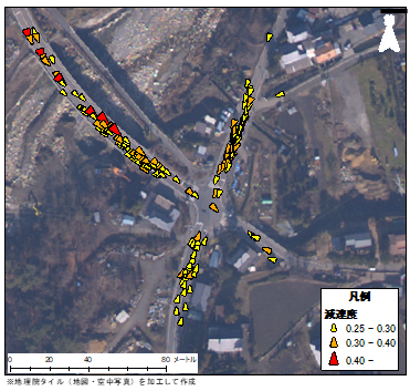
プローブデータ解析業務・位置情報ビッグデータ解析業務
✔ETC2.0を用いた分析
✔各種フローティングカーデータを用いた分析
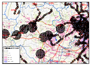
交通ネットワーク解析業務
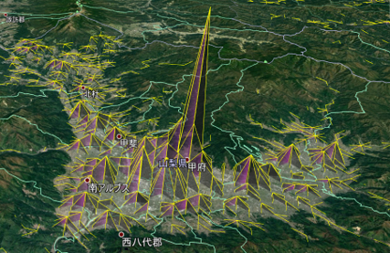
✔等時間到達圏分析
✔最適ルート、最短ルートの抽出・解析
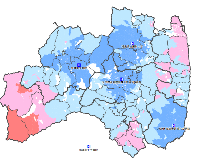
✔カバー圏域、カバー人口の解析
✔防災機能評価
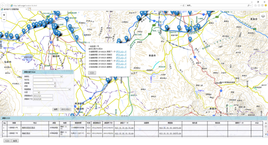
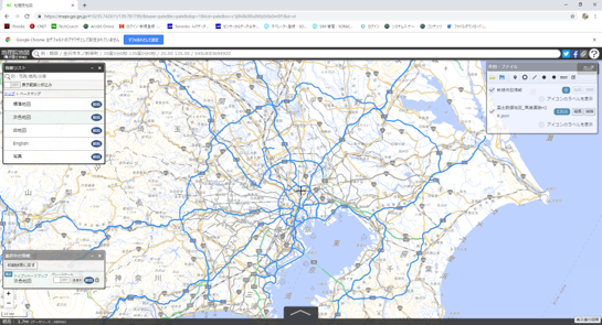
WebGIS等システム作成業務
✔オープンソース(FOS4G)を用いたWEBGISシステムの構築
✔GeoJSON、kml等各種データを用いたデータ作成、変換、表示
✔ジオコーディング